
TL;DR: I explored Innsbruck, including a gondola ride to the “Top of Innsbruck.” Drove into Italy and did my first Dolomites hike – a loop along the Adolf Munkel Trail. Then finished the drive to my first home base: Ortisei, Val Gardenia, the Italian Dolomites.
Stop 1: Innsbruck, Austria
I started out the day as usual — day-planning over breakfast.
I did my usual google search of “best photo spots in ________” and perused AllTrails to select my hike for the day (of course I already had a few saved hikes from previous research). I got the low-down from the front desk on where to find free parking in Innsbruck city center (it’s along Karl-Kapferer-Straße). Then headed out.
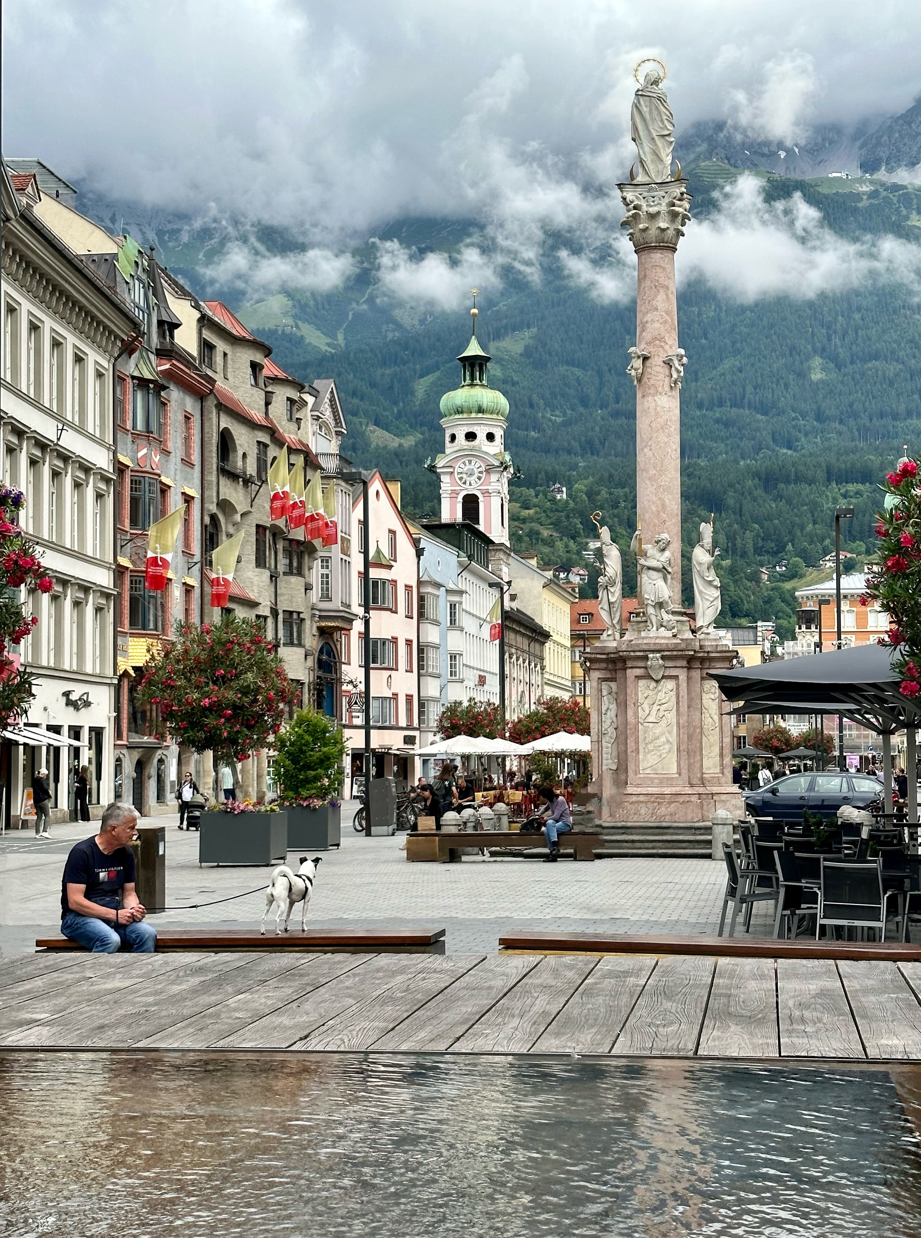
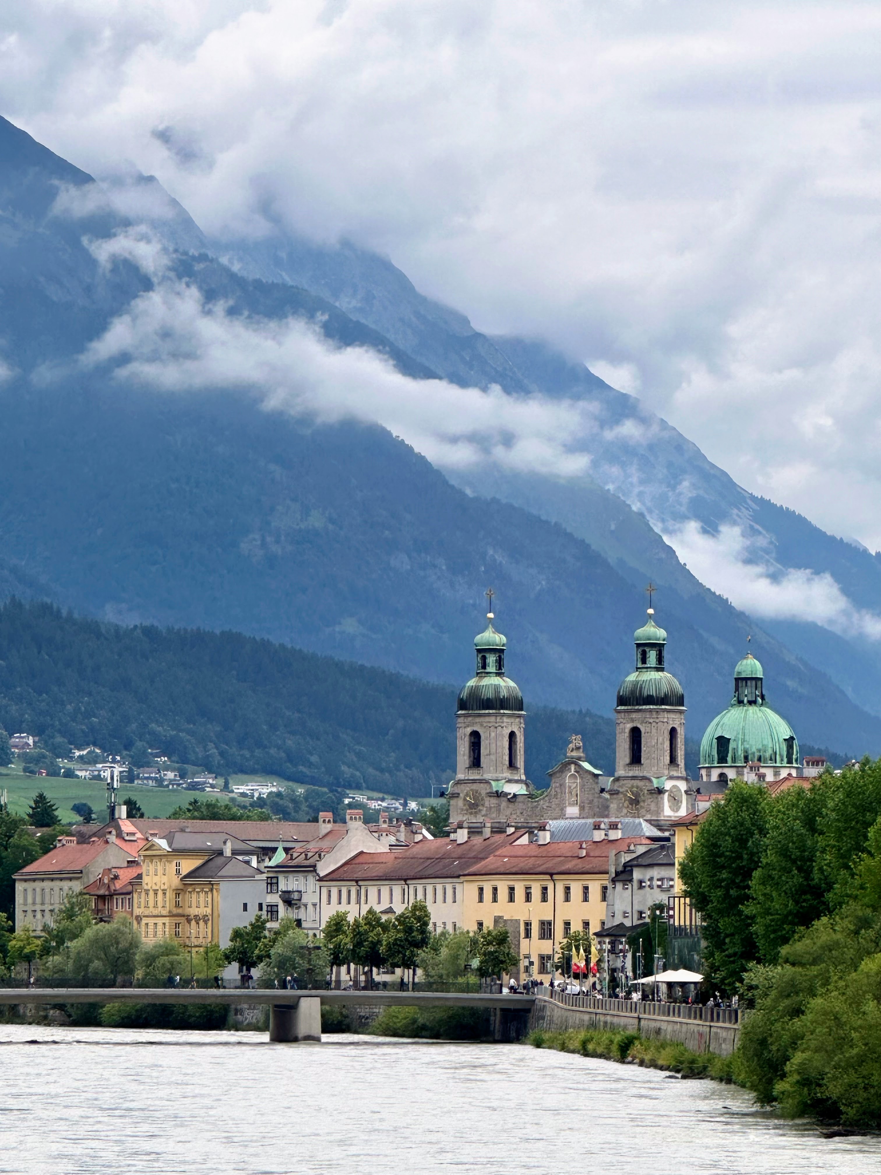
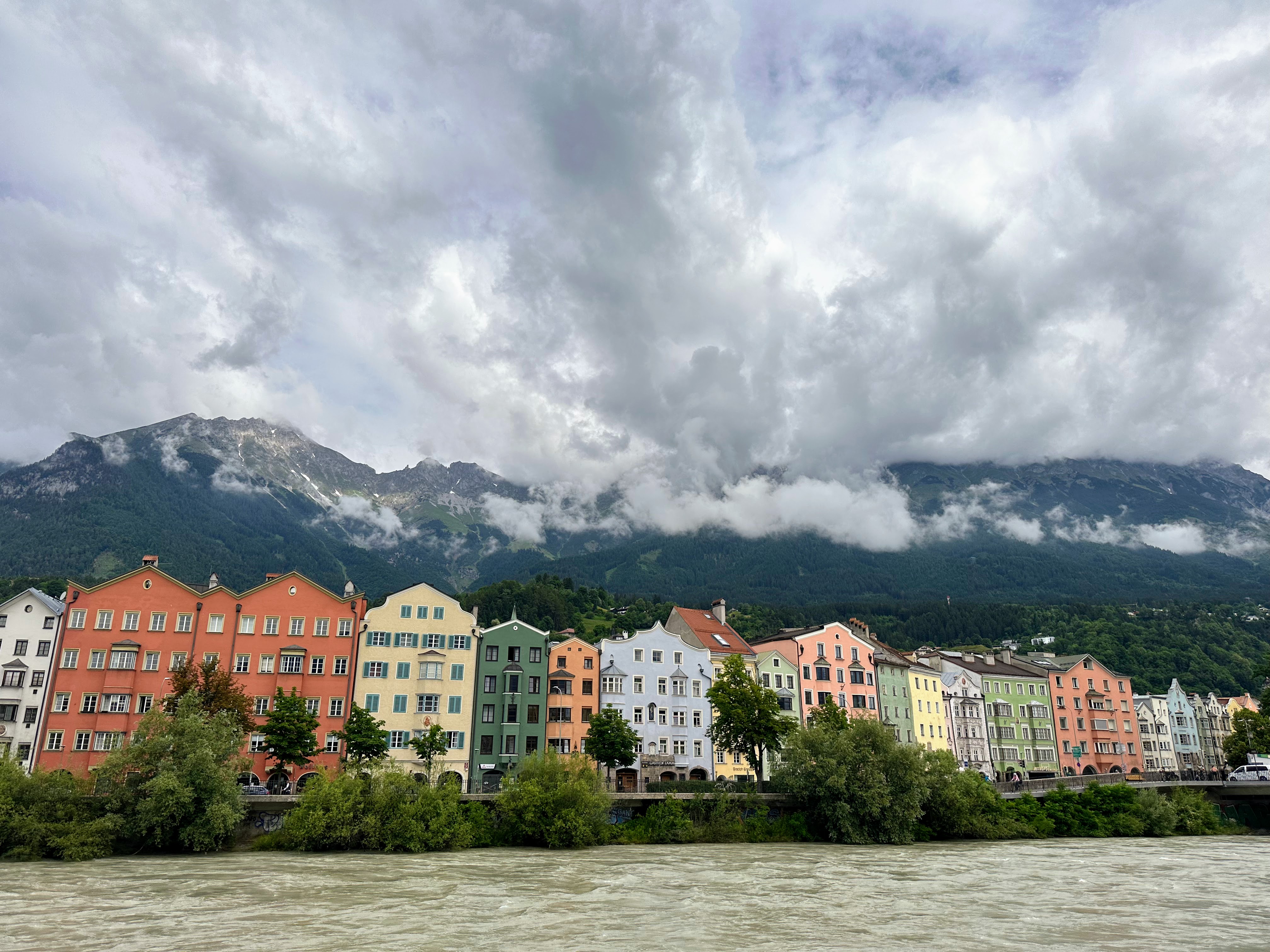
Now, I’ve grown a bit lackadaisical about all the cute cities on a river in Europe. And really, just cities in general. But this city still managed to charm me. Yes, it still has the narrow streets and colorful buildings that charm all of us Americans, but what did it for me were the towering mountains that surround the town! I think Innsbruck could make a great home base for folks looking for access to mountains plus a city with amenities.
After a walk around the city center, it was time to head into the mountains. I calculated that since the days are so long (sunset was after 10pm), I had time to go to Nordkette, aka the “Top of Innsbruck,” before heading out into the Dolomites for my real hike for the day.
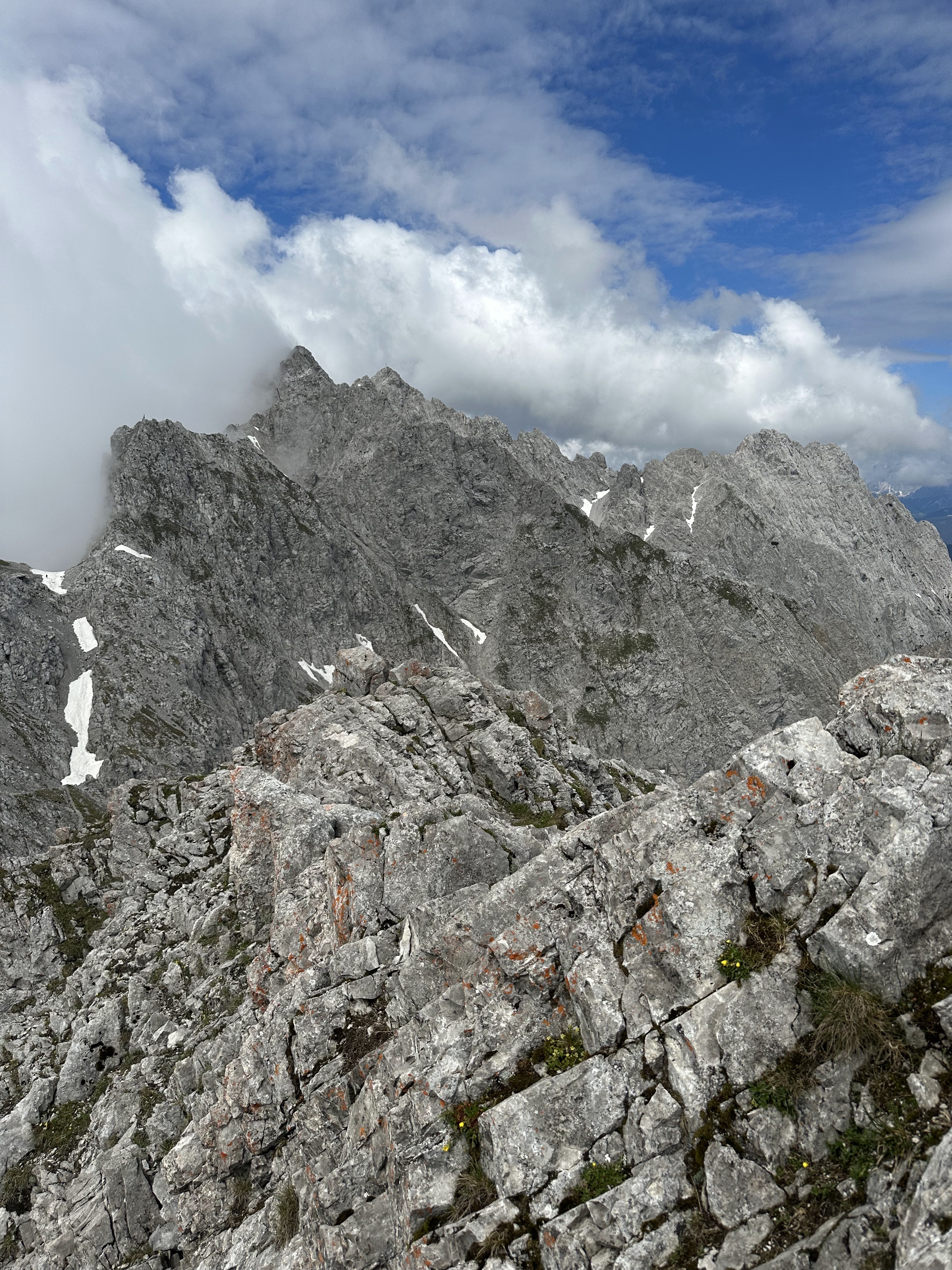
To get to the top, there is a funicular, followed by two gondola rides. There is a hütte at the top of the first gondola with food and spectacular views. When I went the views at the top were obscured by clouds, until reaching the summit, when I realized that the clouds build up like a wall, then totally dissipate at the top, leaving the leeward side with a clear blue sky.
My trip to the top was a quick one. I wanted to get on the road, as I still had a two-hour drive to get to my trailhead (followed by another hour of driving after the hike to get to Ortisei, my home base for a few days).
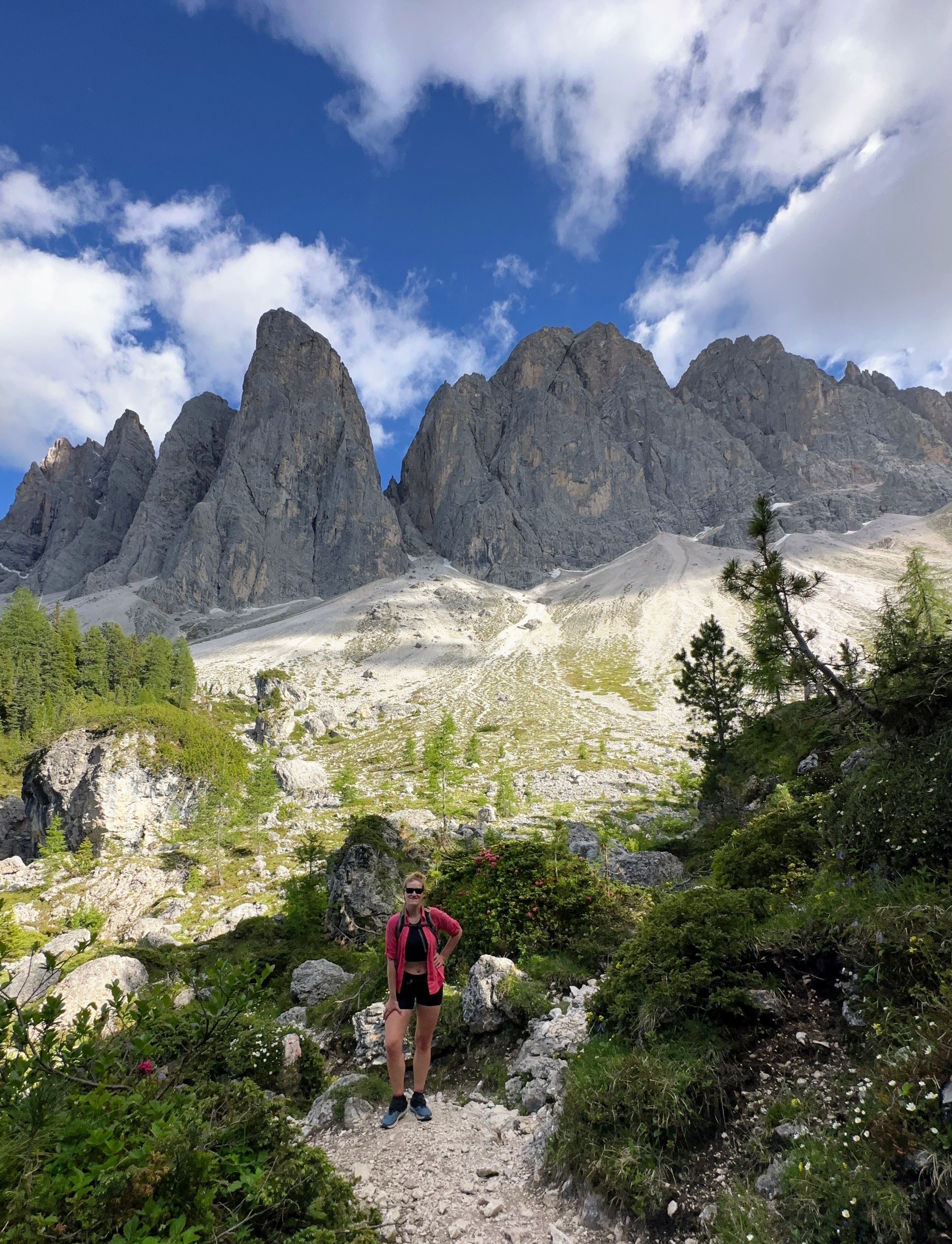
Stop 2: Hiking the Adolf Munkel Trail in the Dolomites, Italy
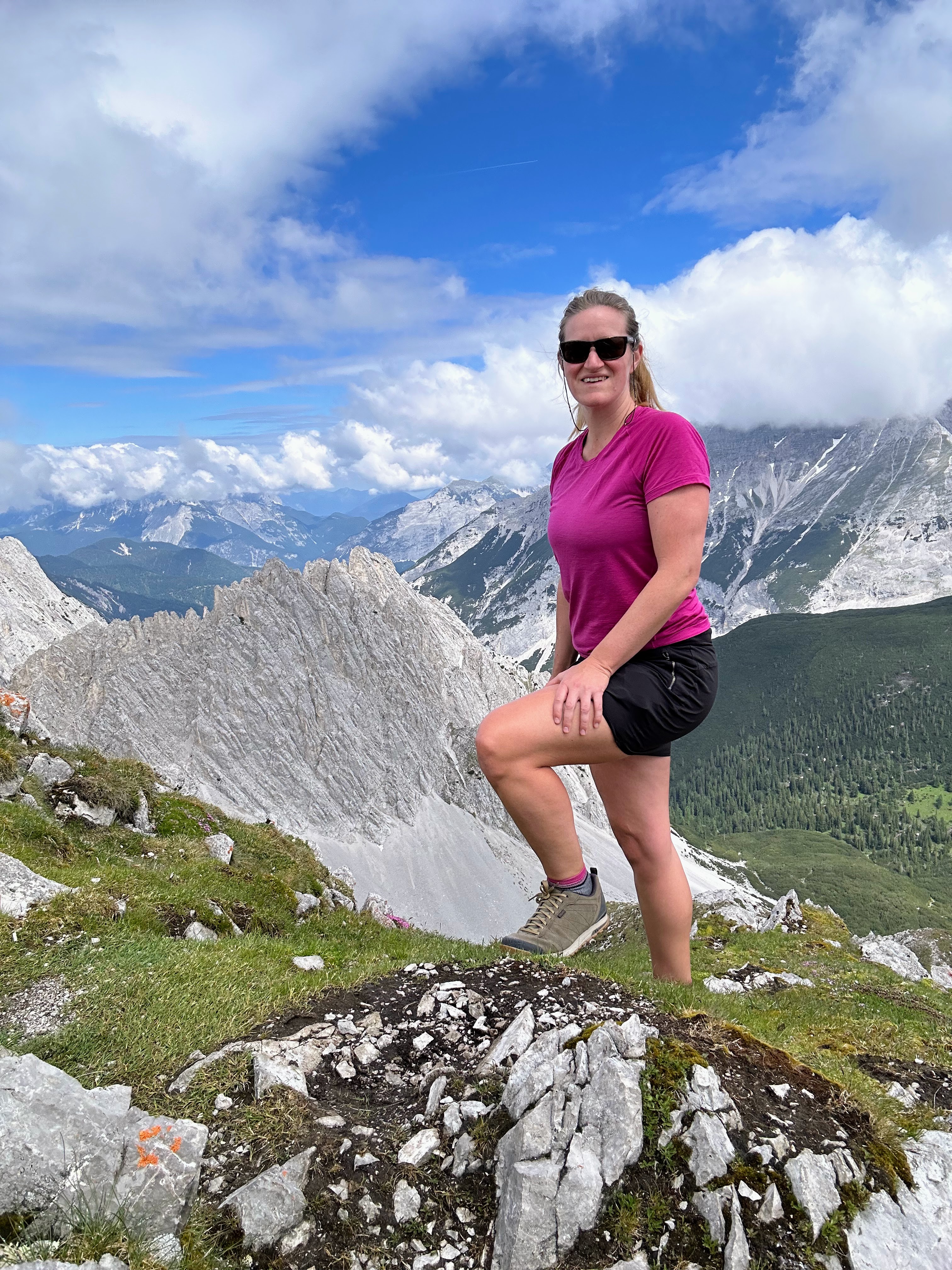
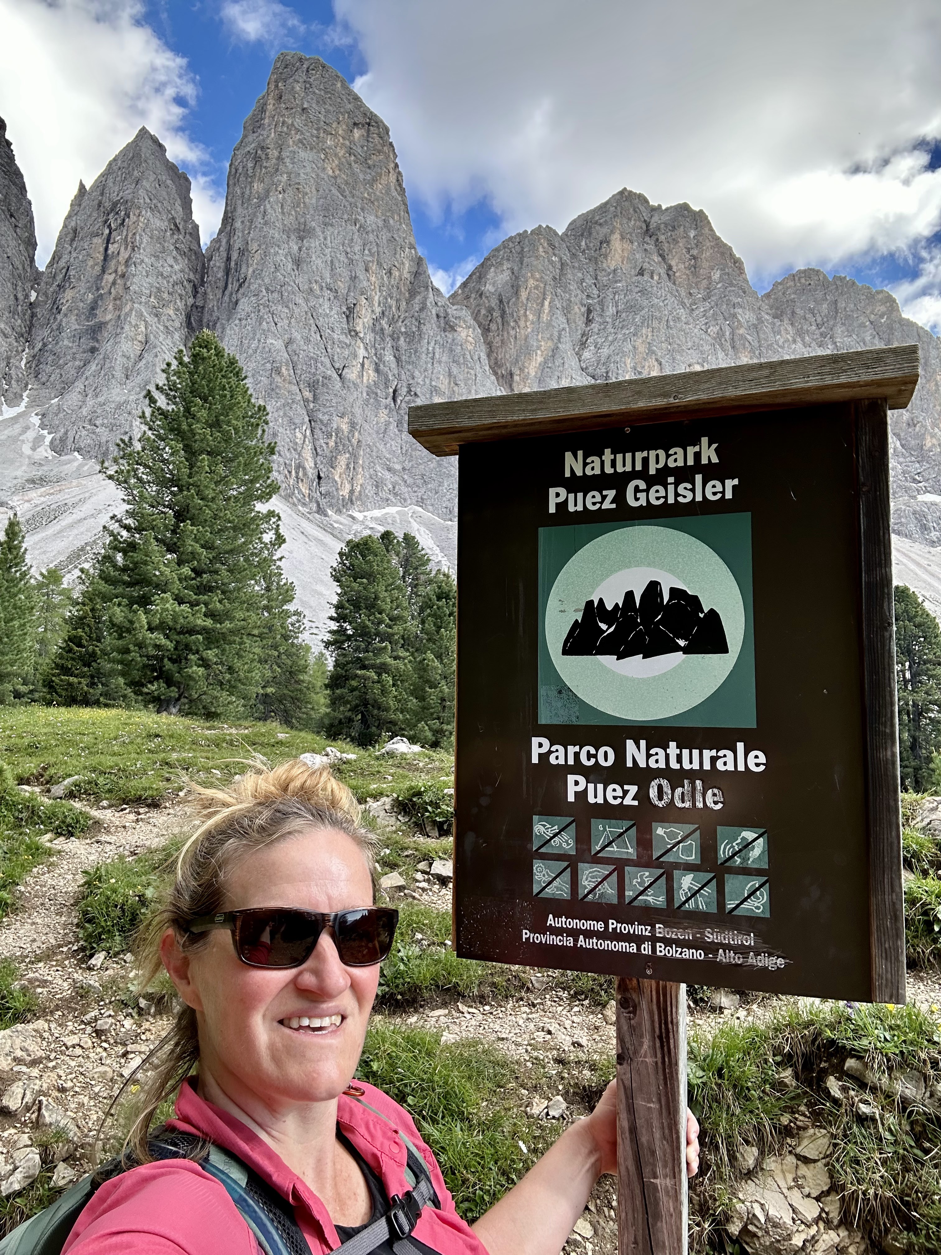
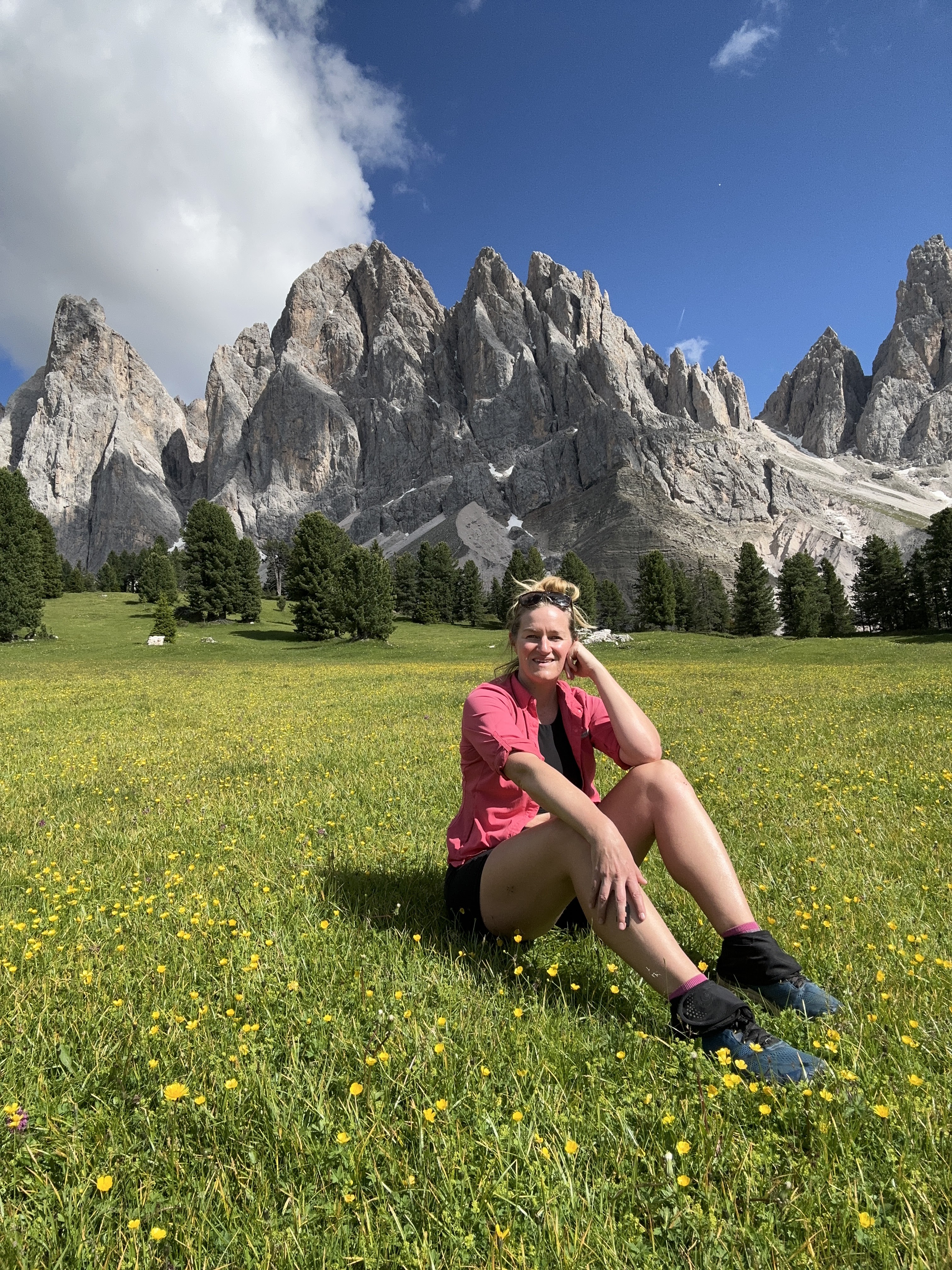
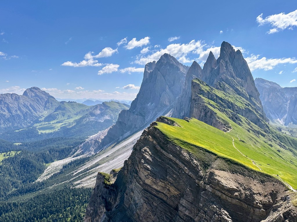
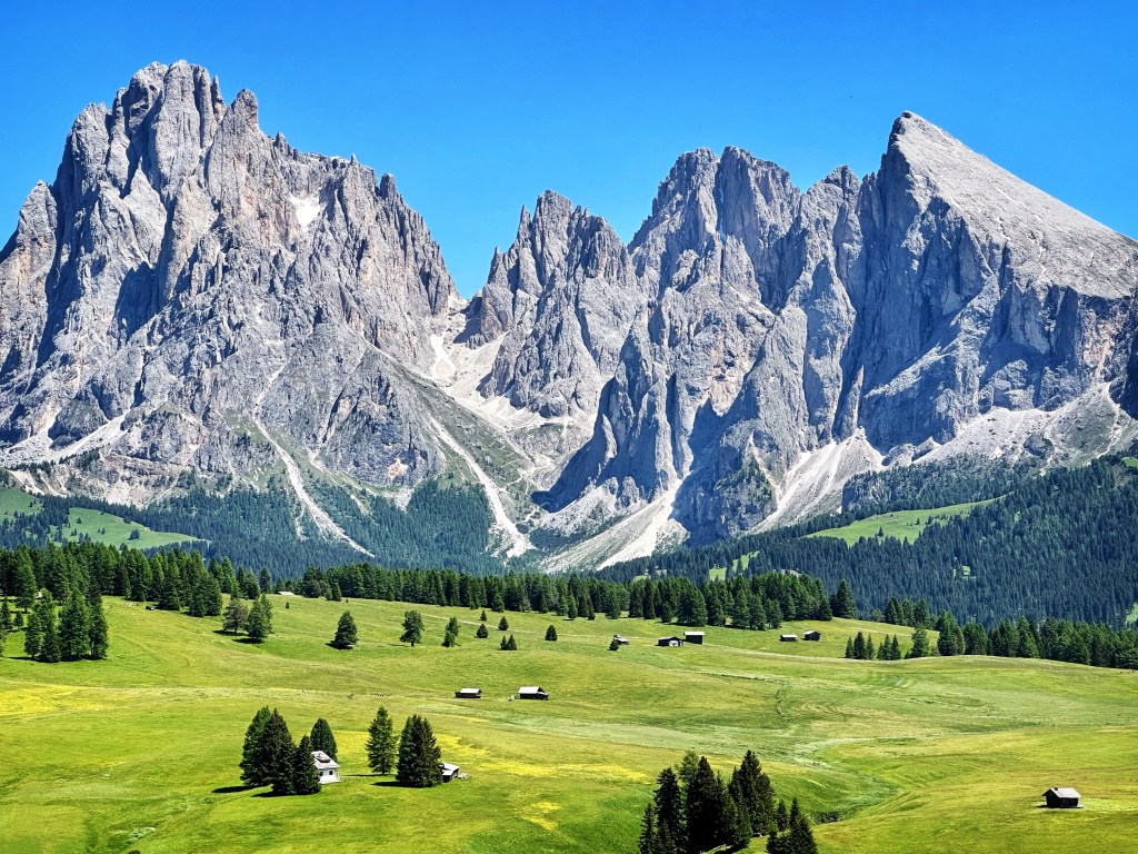
The Adolf Munkel Trail is one of the most beautiful trails in the Dolomites, so I knew I wanted to hike part of it. And since this was sort of along the way to my home base, I knew I had to squeeze it into my Day 1 itinerary.
I followed a combination of two maps/directions + my Google Map to the trailhead for driving:
- Moon & Honey Travel: I basically followed their guides for almost every hike I did. They recommended hiking against the usual clockwise current of people. And I agree; hiking this loop counter-clockwise, against the current, probably has better views. But either direction would be gorgeous, IMO.
- AllTrails: I always download the offline map in AllTrails. Again, I took Moon & Honey’s advice and went counter-clockwise.
- Google Maps: Here’s the trailhead if you want to pin it to your map. I always have offline maps downloaded for any region I’m traveling in.
In short, the hike was stunning! An excellent introduction to hiking in the Dolomites.
After a solid uphill, the trail opened up into a meadow, after which, the views did not stop. The Adolf Munkel Trail, which is the part of this look that it within the National Park, was definitely the highlight of the route. It was so beautiful that I wanted to cry. But instead, I sang out!
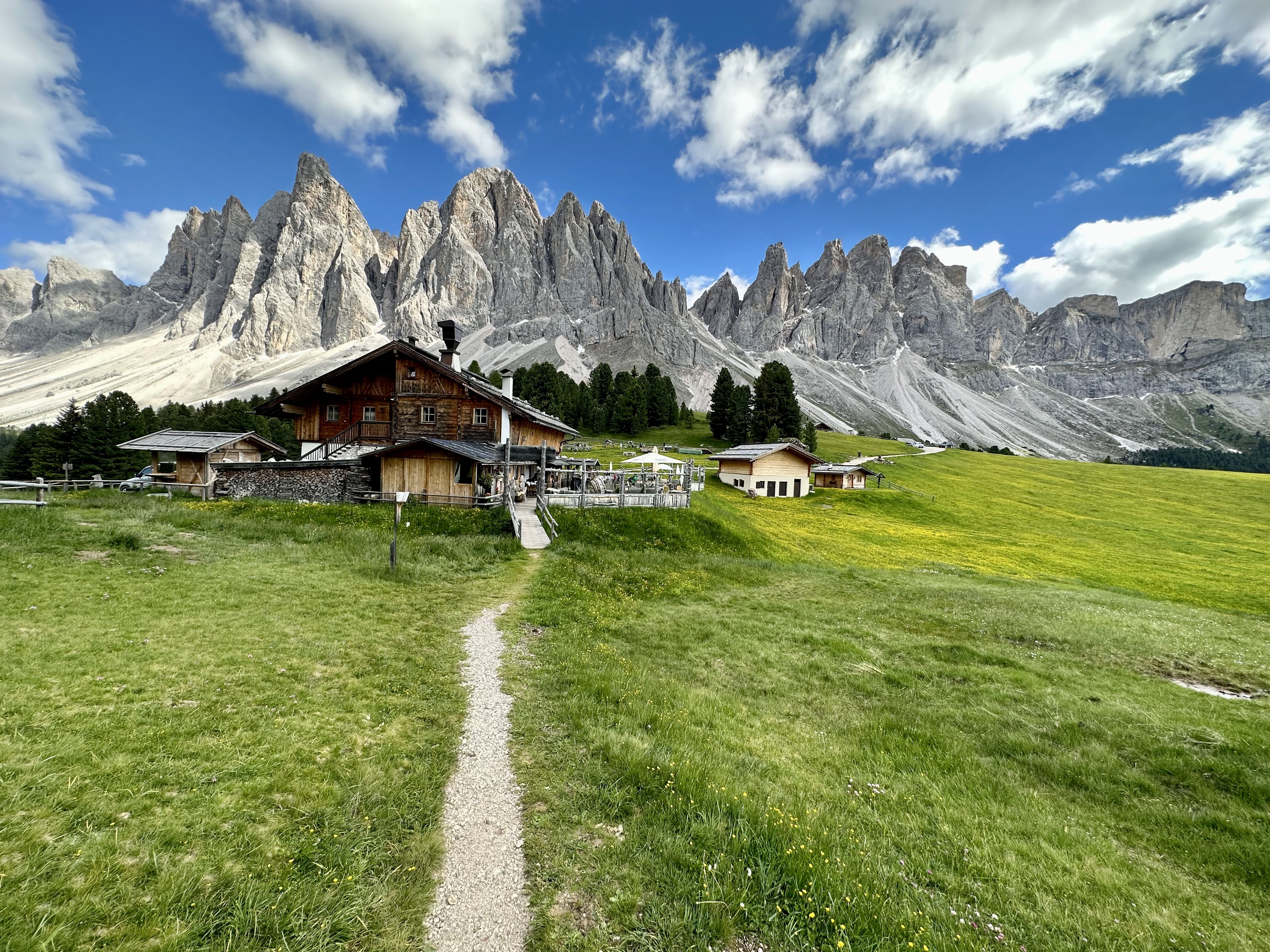
Stop 3: Finally to my home base in Ortisei, Val Gardenia in the Italian Dolomites
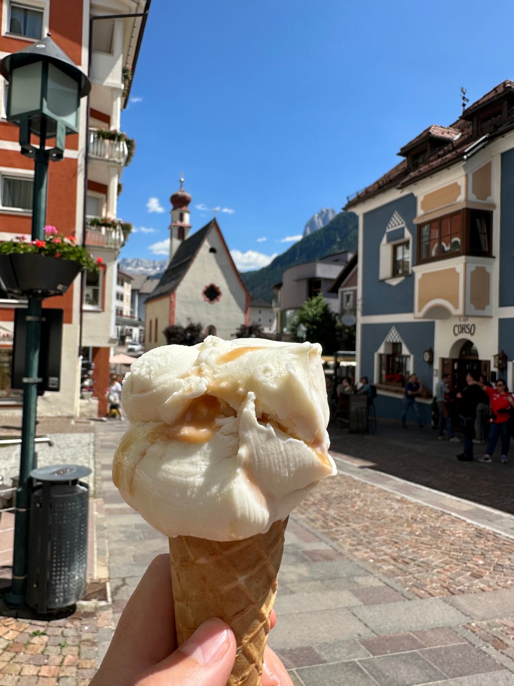
After the six-mile loop, it was off to check into my apart-hotel in Ortisei, followed by a nice pizza dinner and gelato (I mean, it’s Italy after all!).


Leave a comment